The Grand Teton's Upper Exum Route
A few trip reports for April through October
July 17th, 2016 (UXM) PNG Variation
Detailed Look At Specific Route Features
All images may be used without permission or attribution for all not-for-profit purposes.
Overview
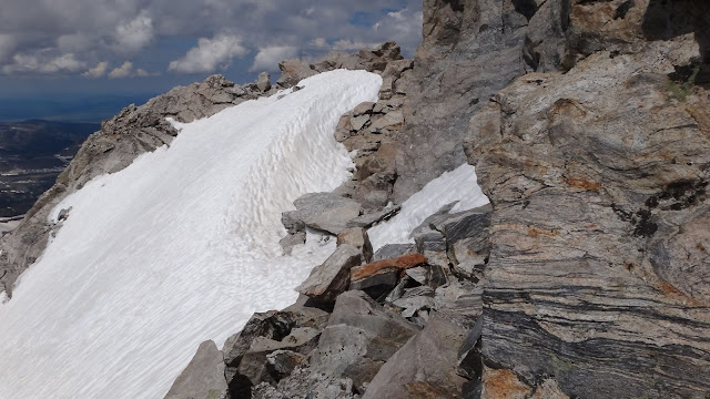
The bypass gully is often icy and it's not necessarily easier but it can might be for some climbers.
The Bypass is to the north (left).
The southern Jam Crack is to the east - up the slope.
View from L-Shaped rock feature.
The BPITS - southern Jam Crack seen below upper climber.
Just below southern Jam Crack
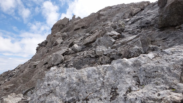
Looking up at the BPITS from the L-Shaped rock feature
Looking up toward the BPITS after exiting the Petzoldt Lieback / West-Leaning Chimney
The L-Shaped rock feature is far left. You can climb toward the ridge or climb toward the L-Shaped rock feature.
Looking back at the L-Shaped rock feature from above
Bypass
Bypass - getting out of the gully
After exiting the BPITS
Bypass with snow in the gully
Bypass - after exiting the gully and heading for the ridge
Bypass
Bypass
Bypass
The Bypass under the BPITS
Looking northish
Coming off the BPITS and onto the summit ridgeline.
The Bypass is to the right.
Looking south.
View up east from the L-Shaped rock feature
This is the L-Shaped rock feature.
It's just NE of the exit from the West-Leaning Chimney / Petzoldt Lieback. From that WLC exit, you can head east toward the ridge or you can head east and then north toward the L-Shaped rock feature. From the rock feature, you can head east for the southern Jam Crack of the BPITS at the ridgeline or you can dip into the gully and bypass the BPITS. Sometimes it's easier to access the bypass gully from higher up the slope because you will be going directly under the BPITS while in the top part of the gully.
The southern Jam Crack of the BPITS
The southern Jam Crack
Enjoy Safe Climbing


